

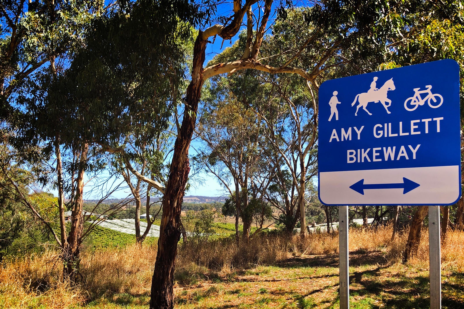
Amy Gillett Bikeway
- Address
- 782 Onkaparinga Valley Rd, Oakbank SA 5243, Australia (view map)
- Type
- Trail, Park
- Features
- Bike track
- Phone
- 08 8408 0400
- mail@ahc.sa.gov.au
Discover the Amy Gillett Bikeway
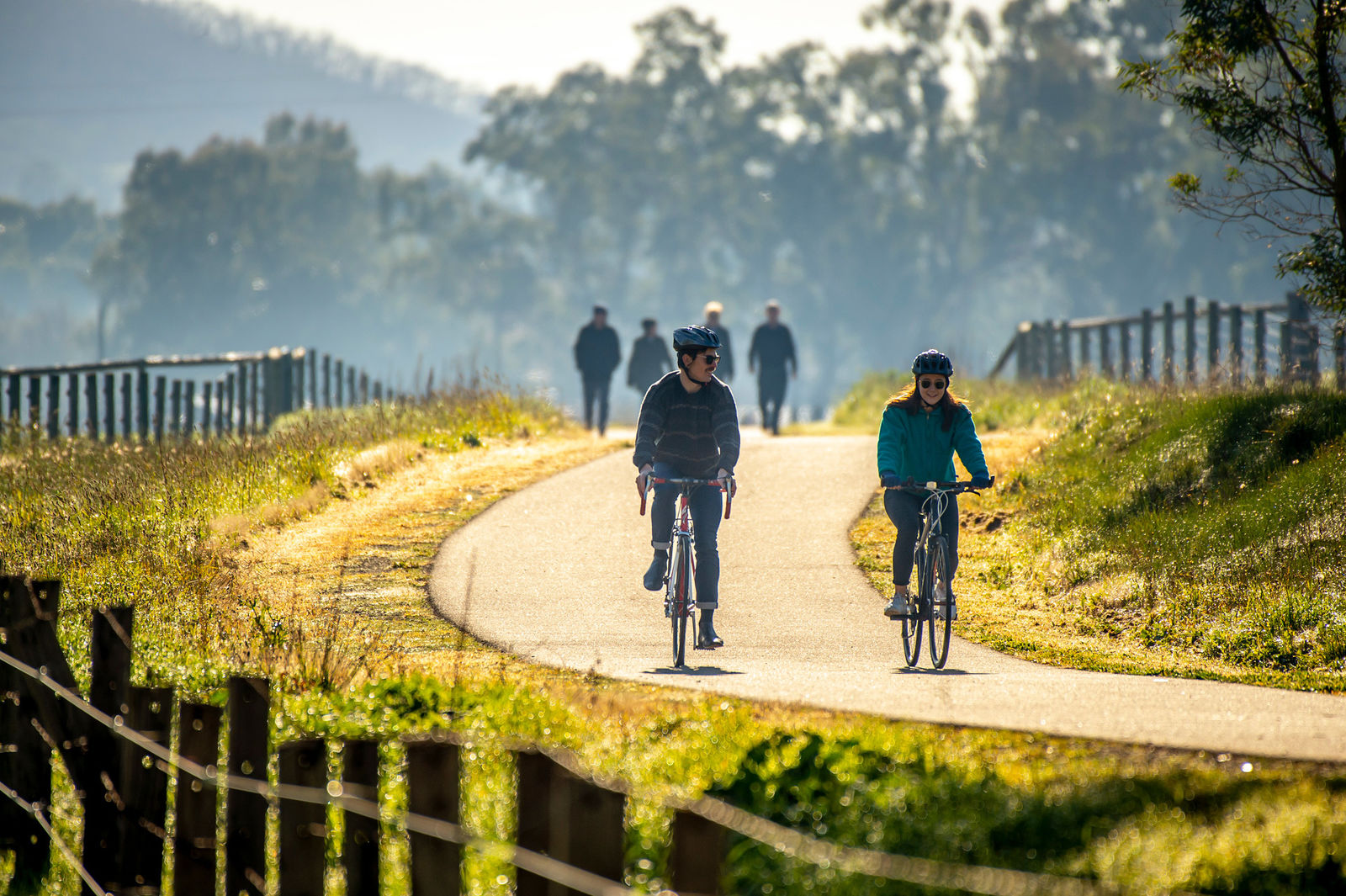
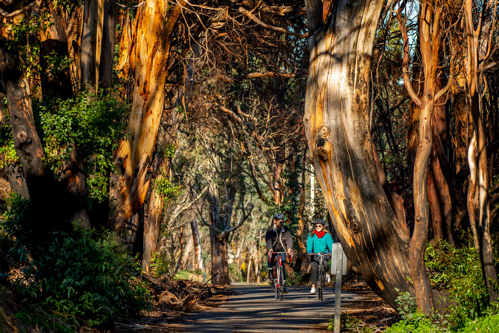
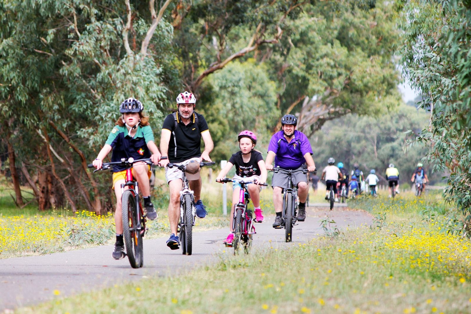
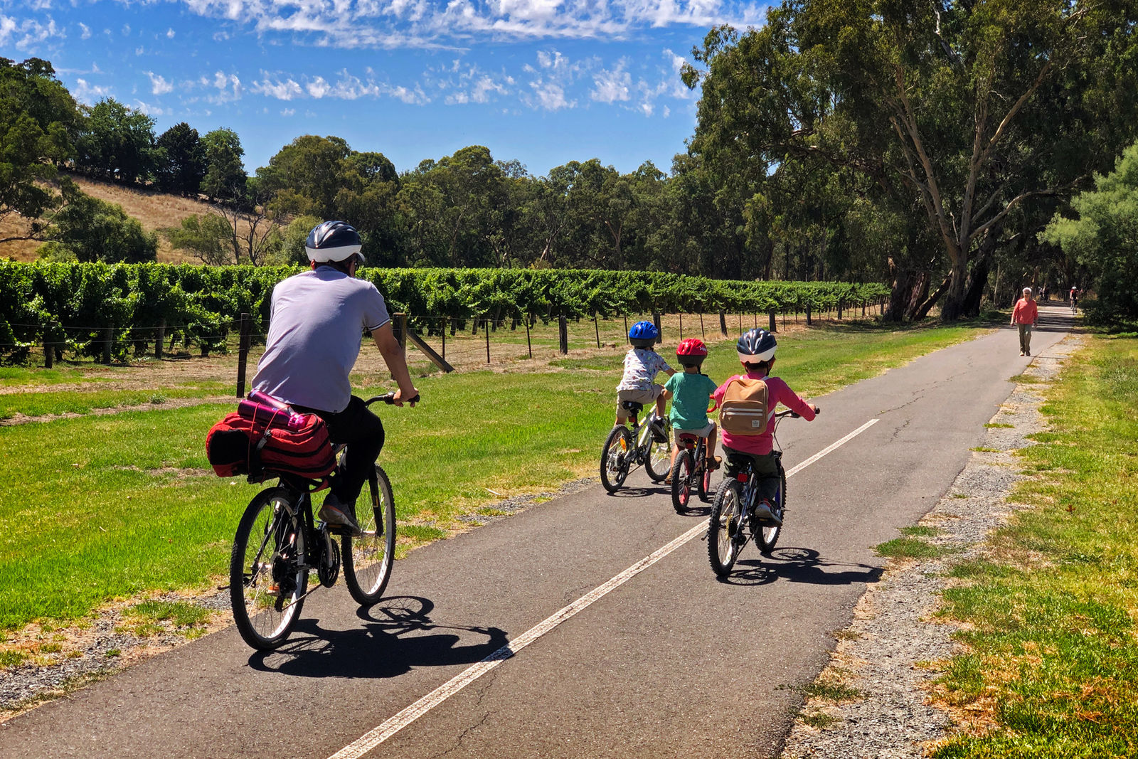
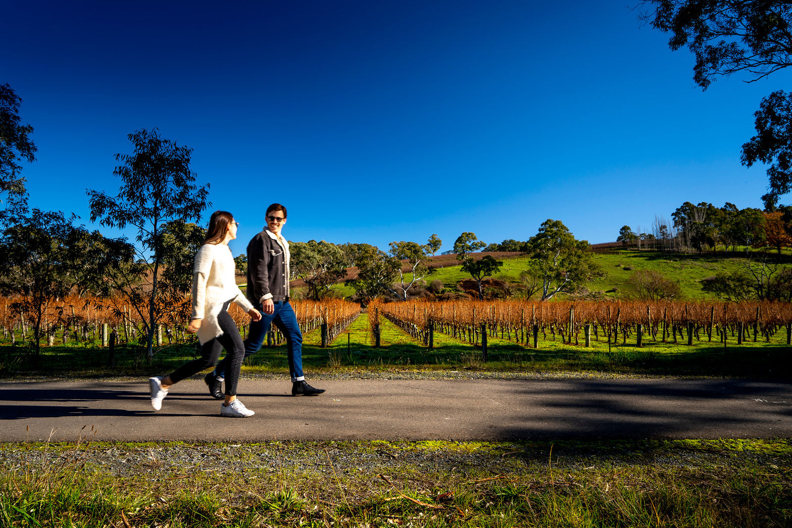
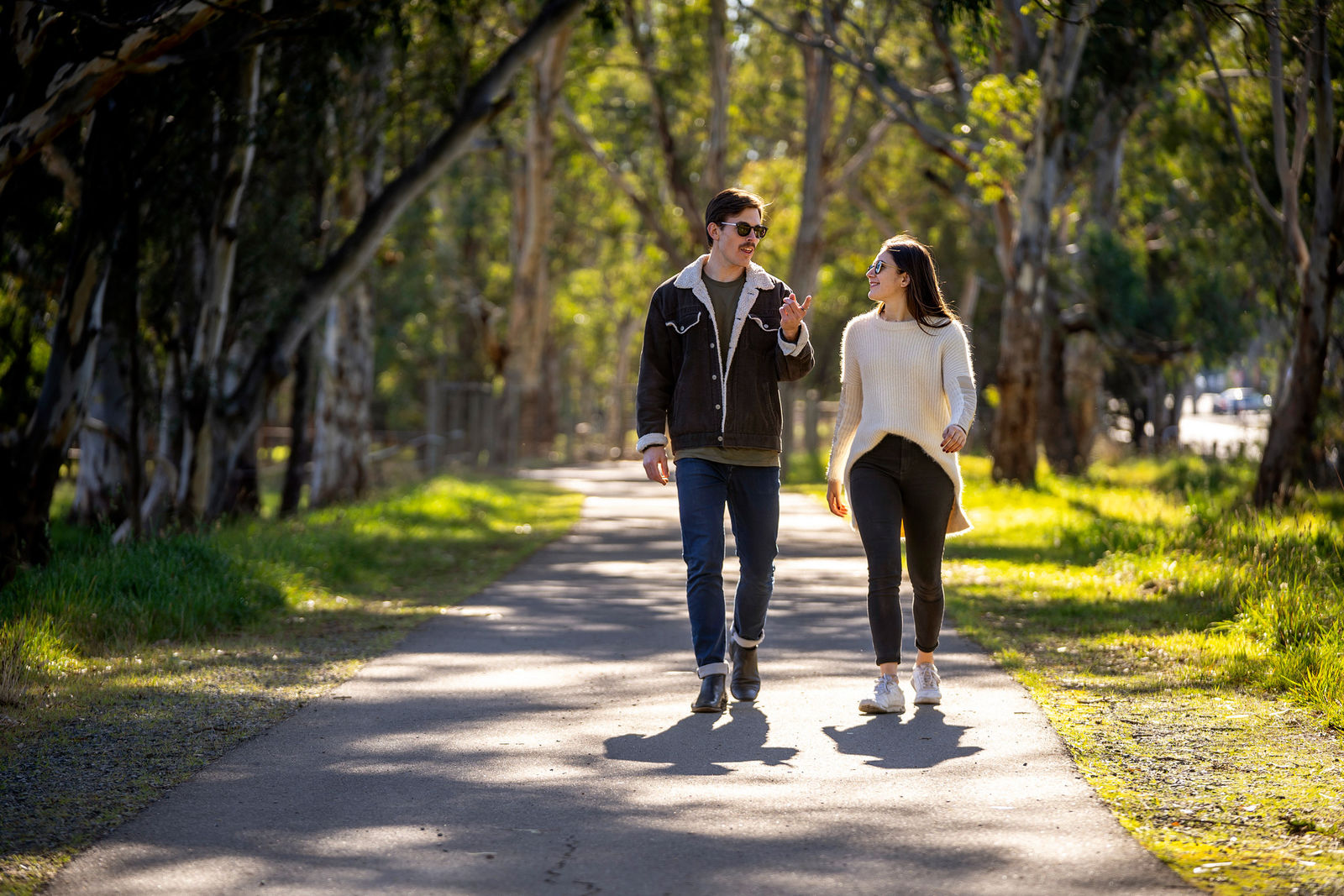
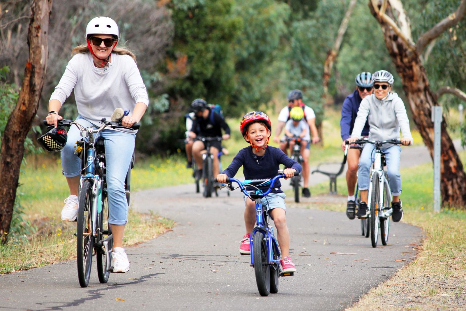
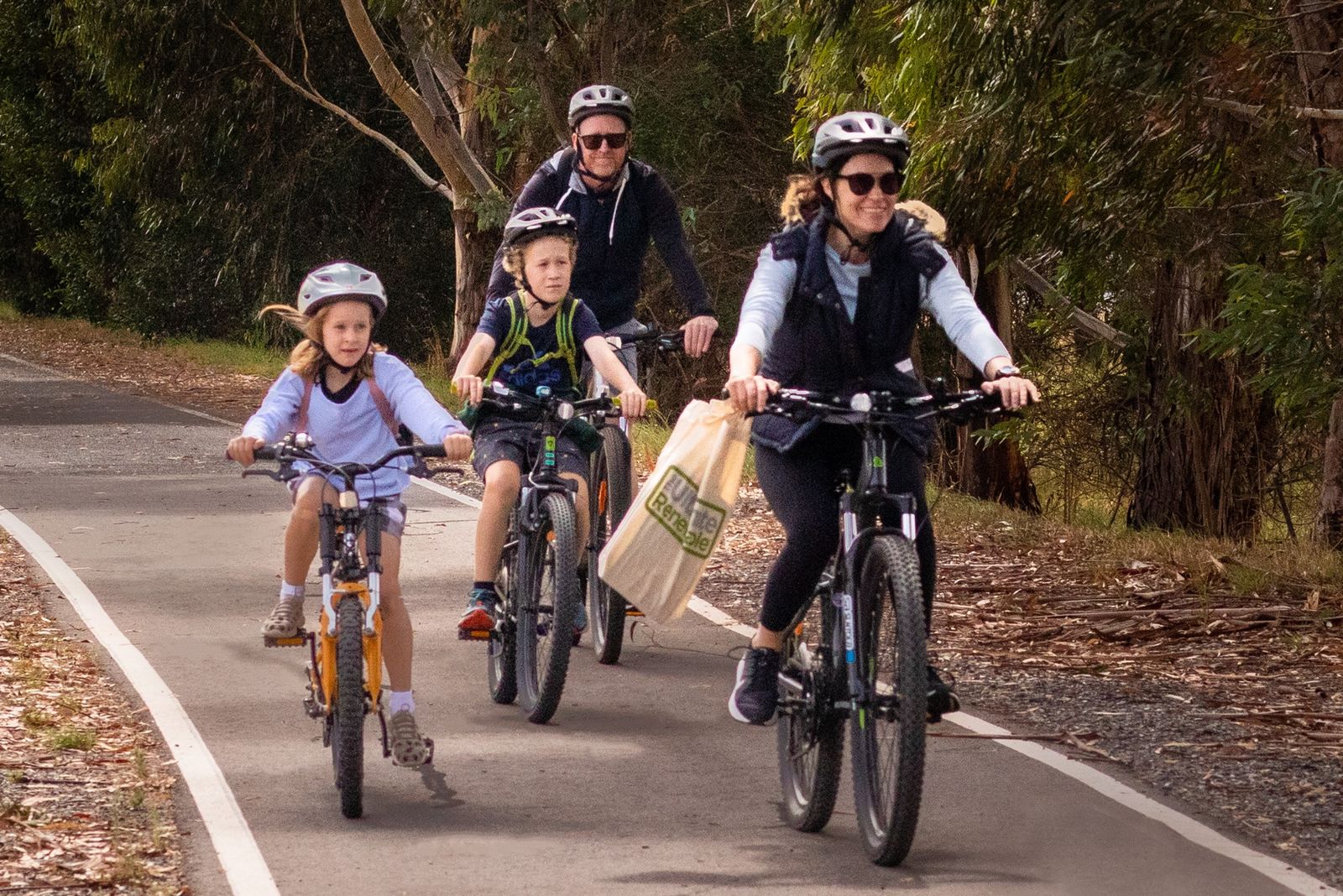
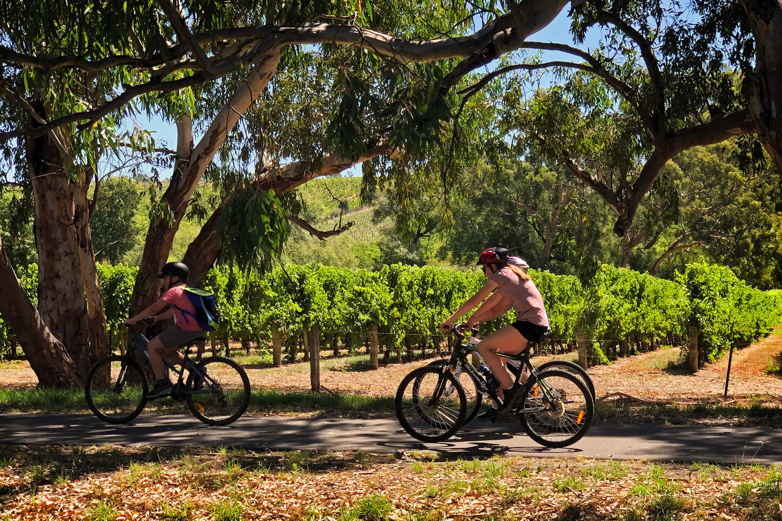
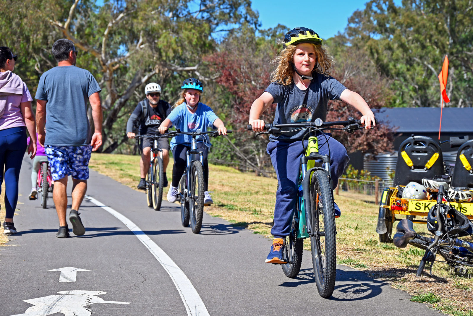
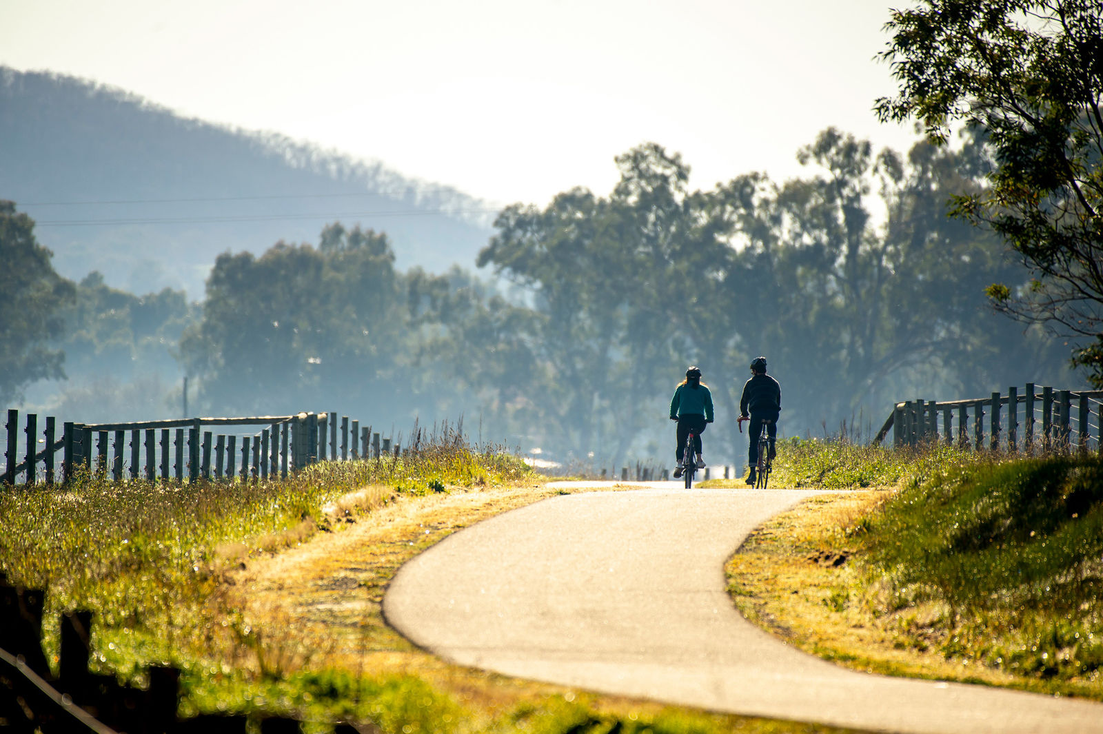
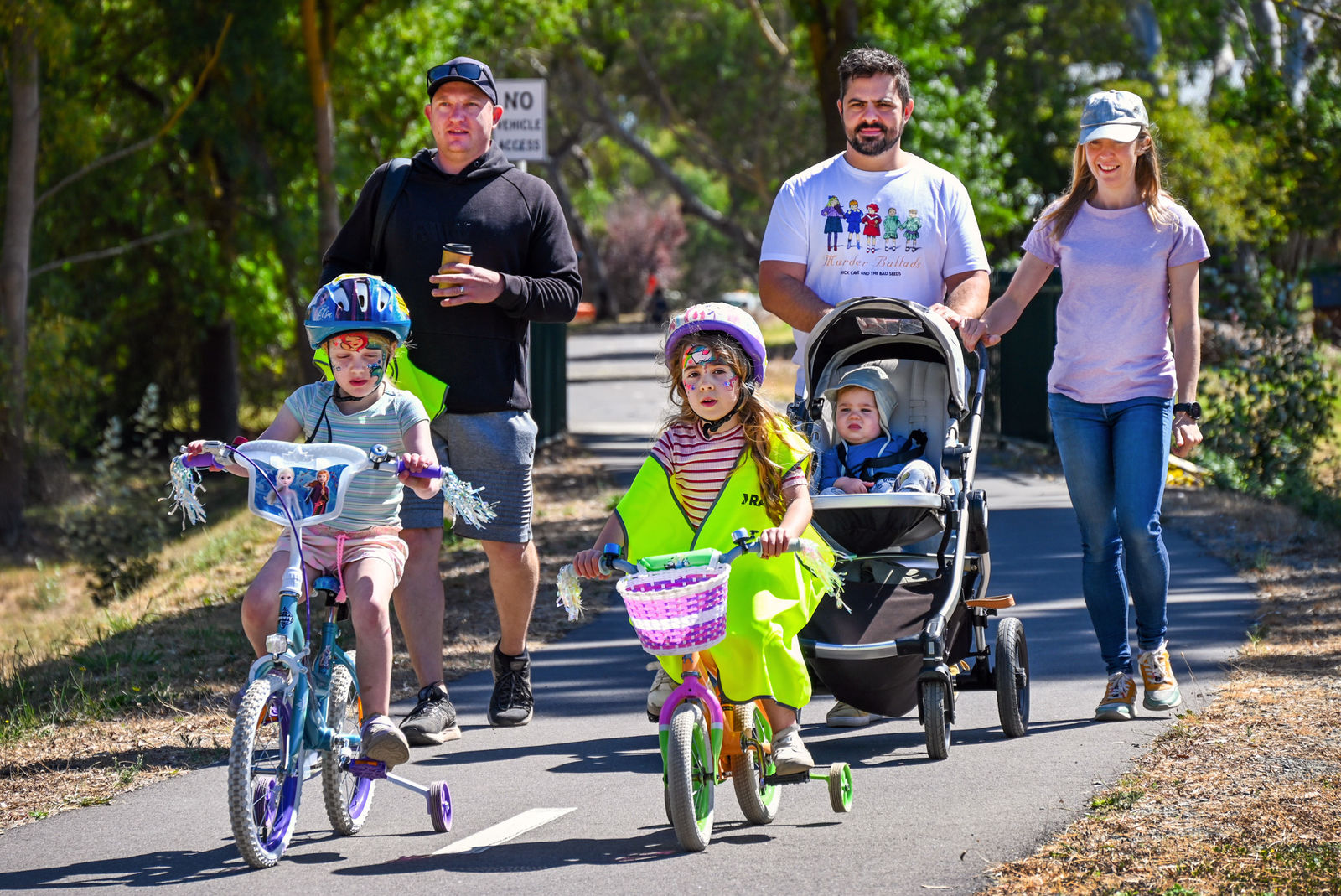
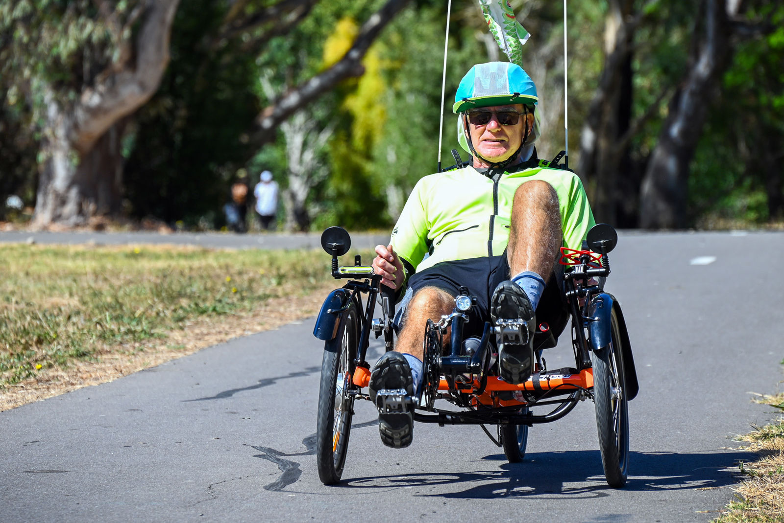
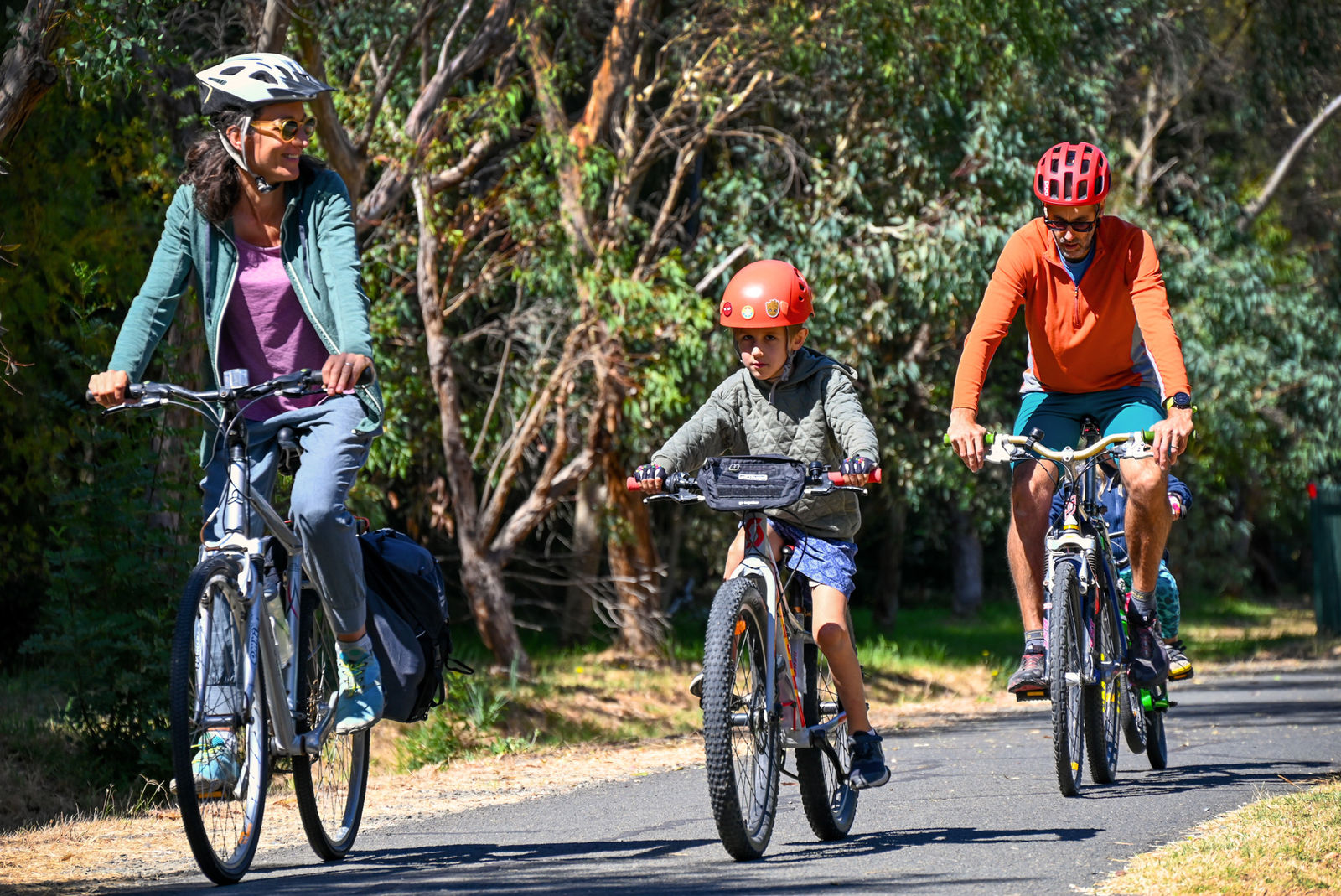
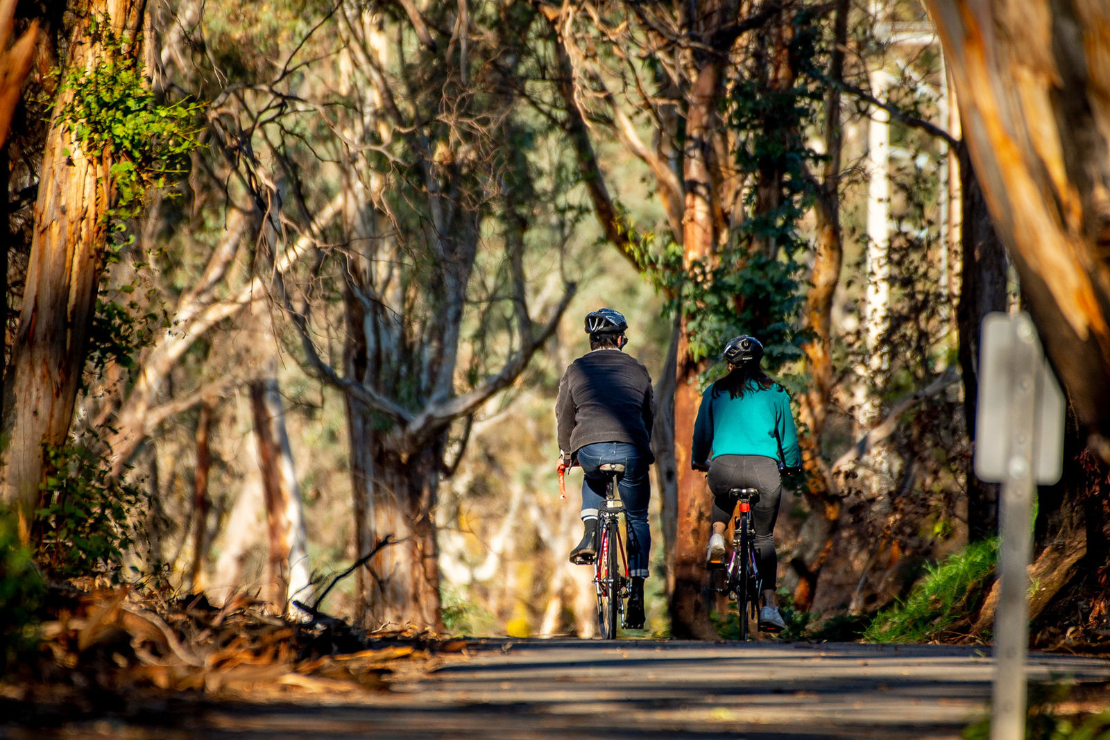
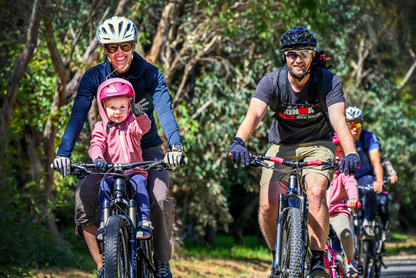
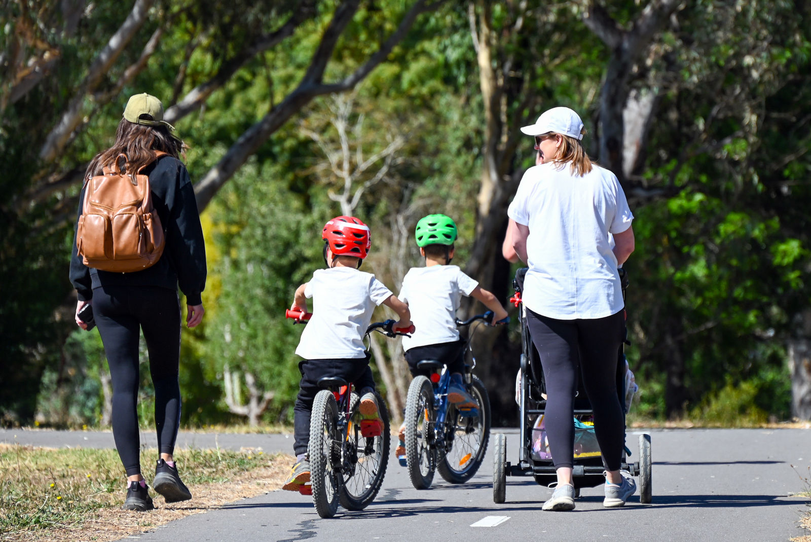
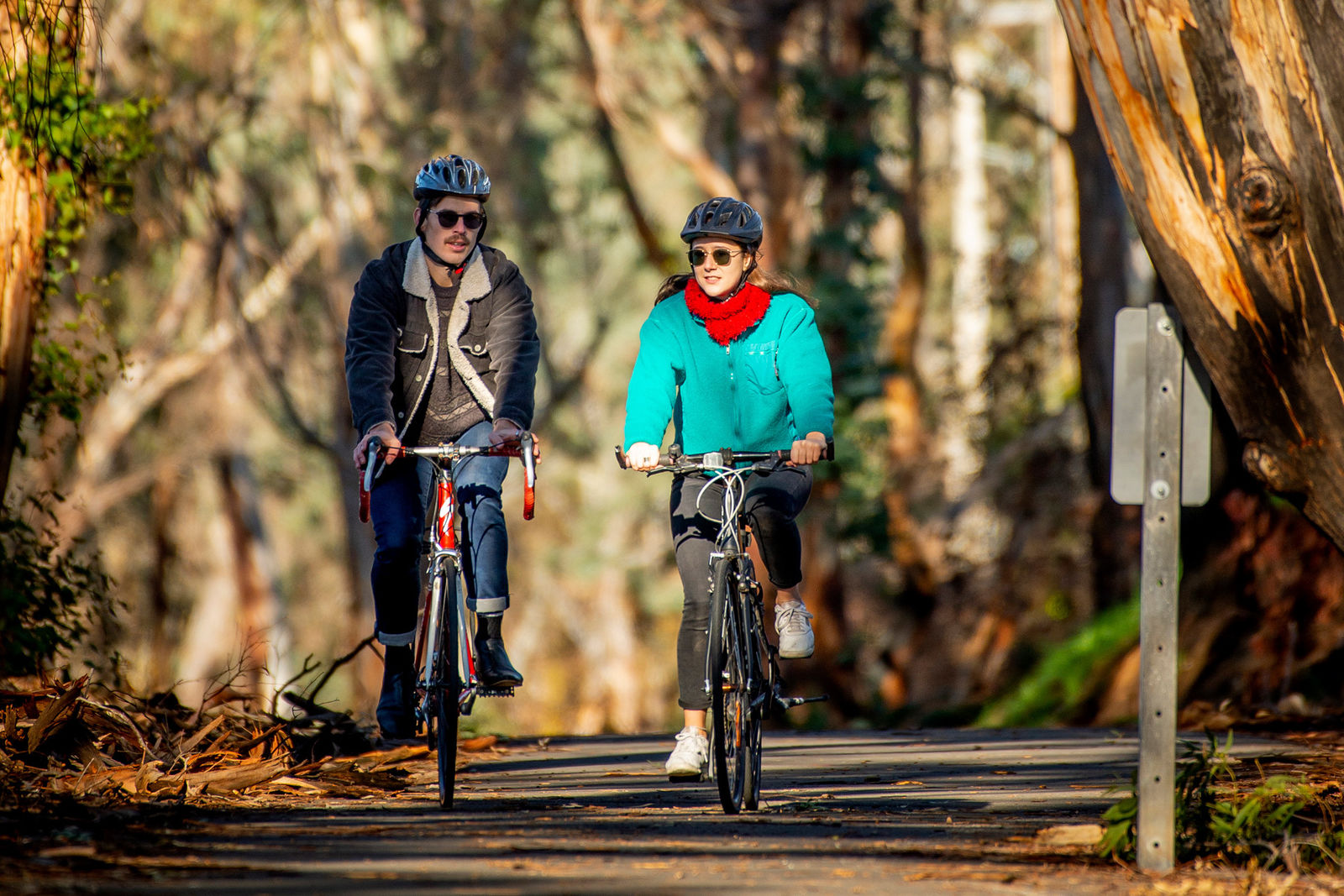
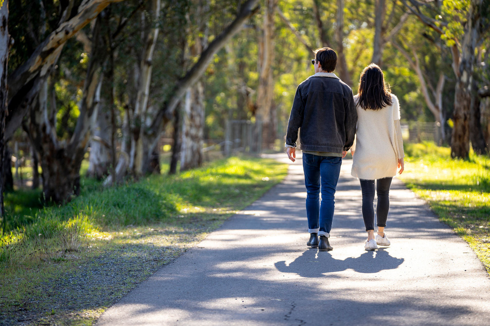
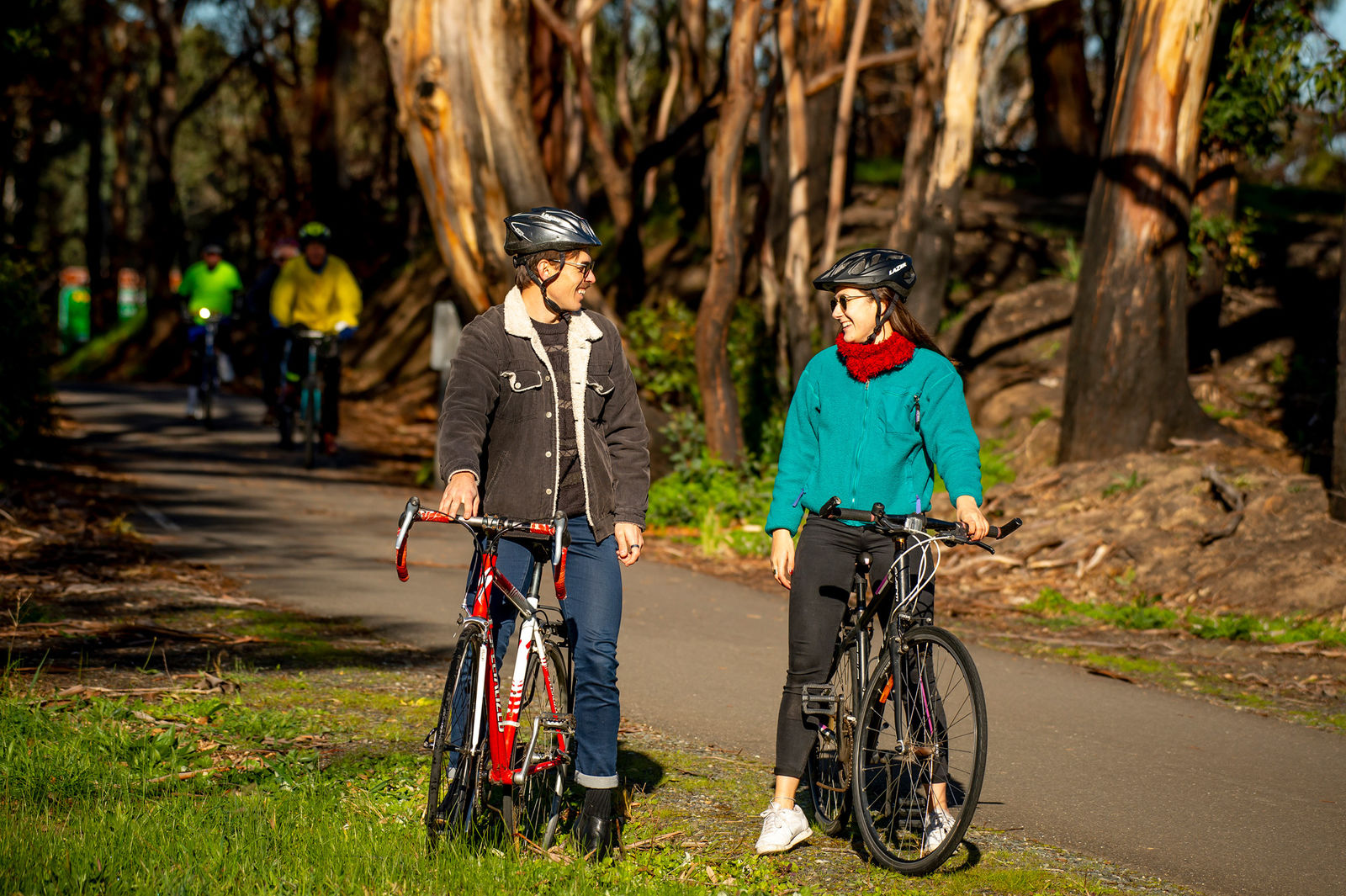
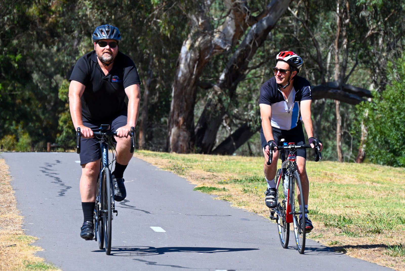
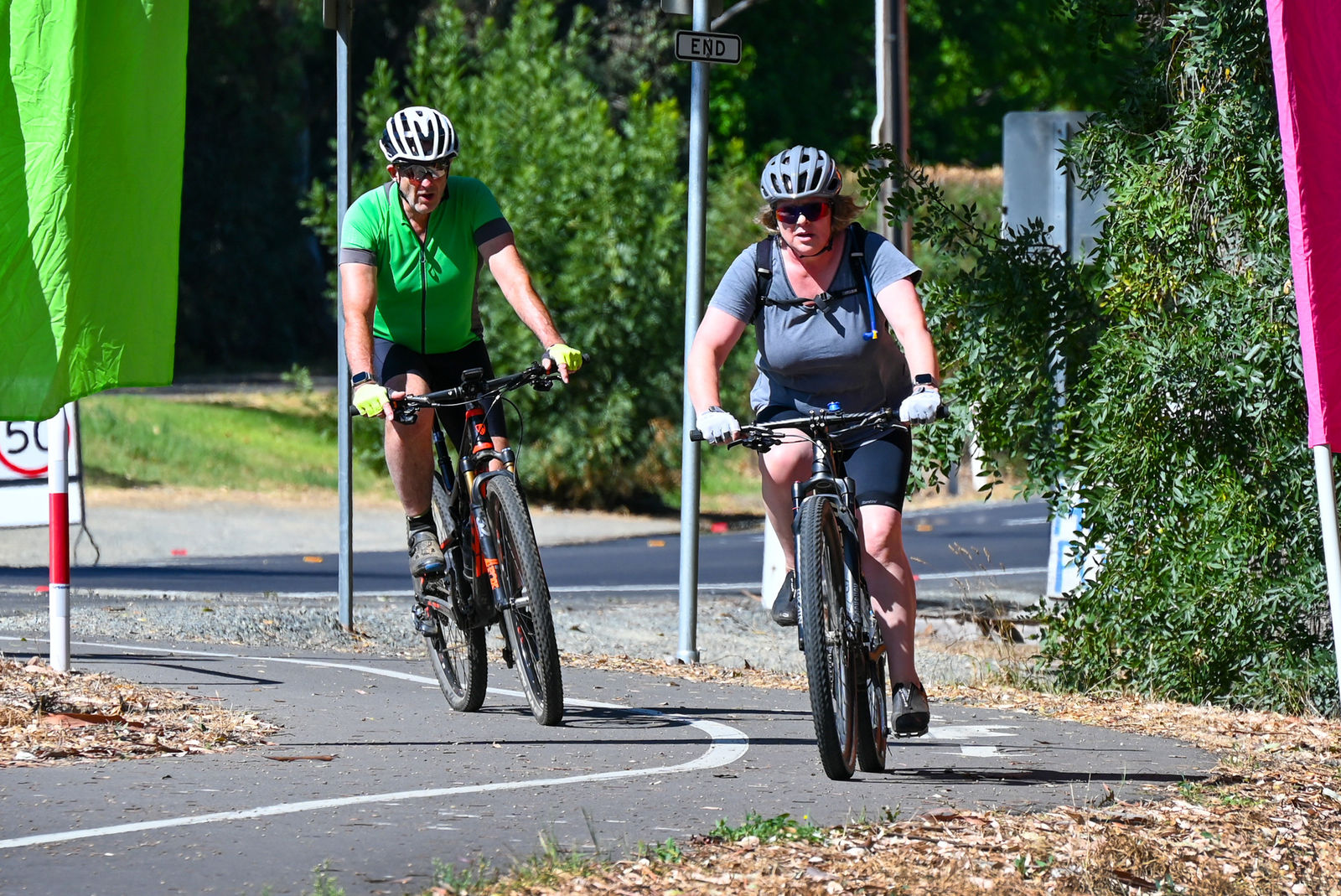
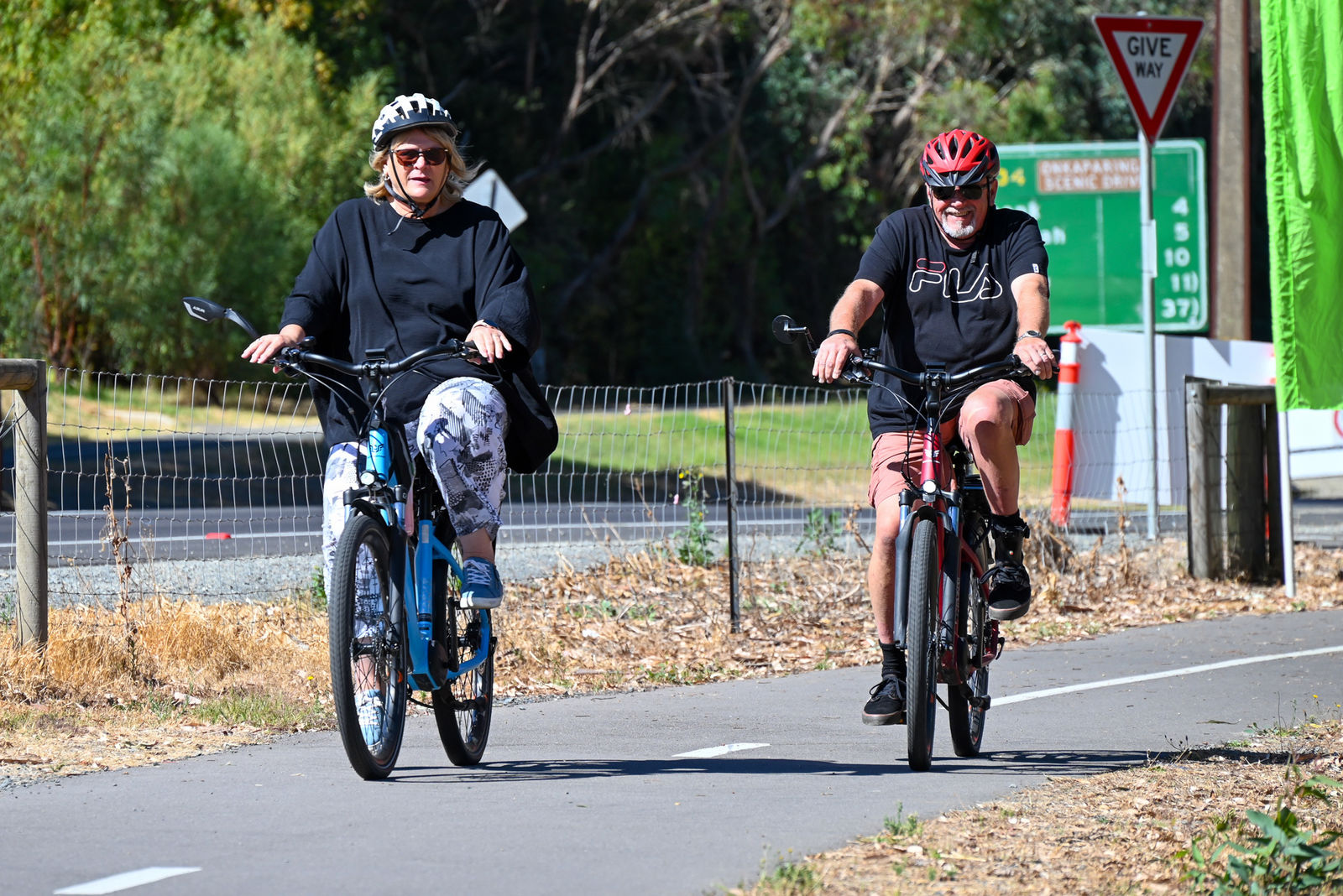
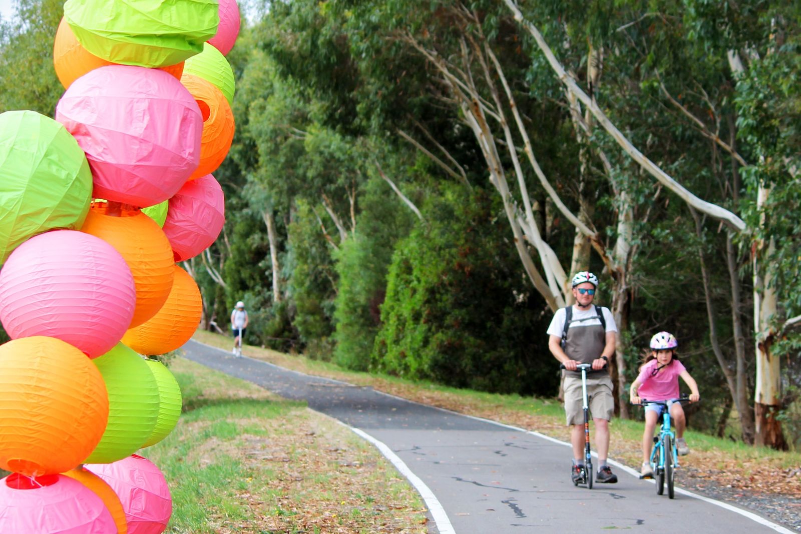
The Amy Gillett Bikeway is a delightful 17km trail in the Adelaide Hills, perfect for cycling, walking, and horse riding.
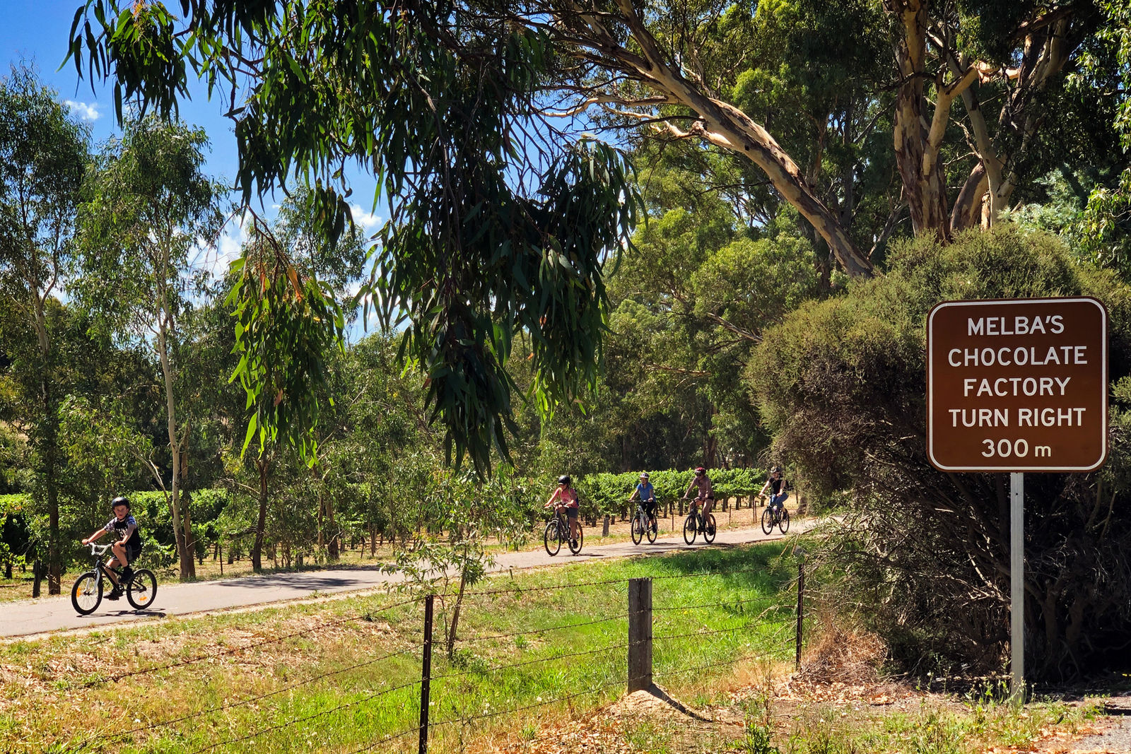
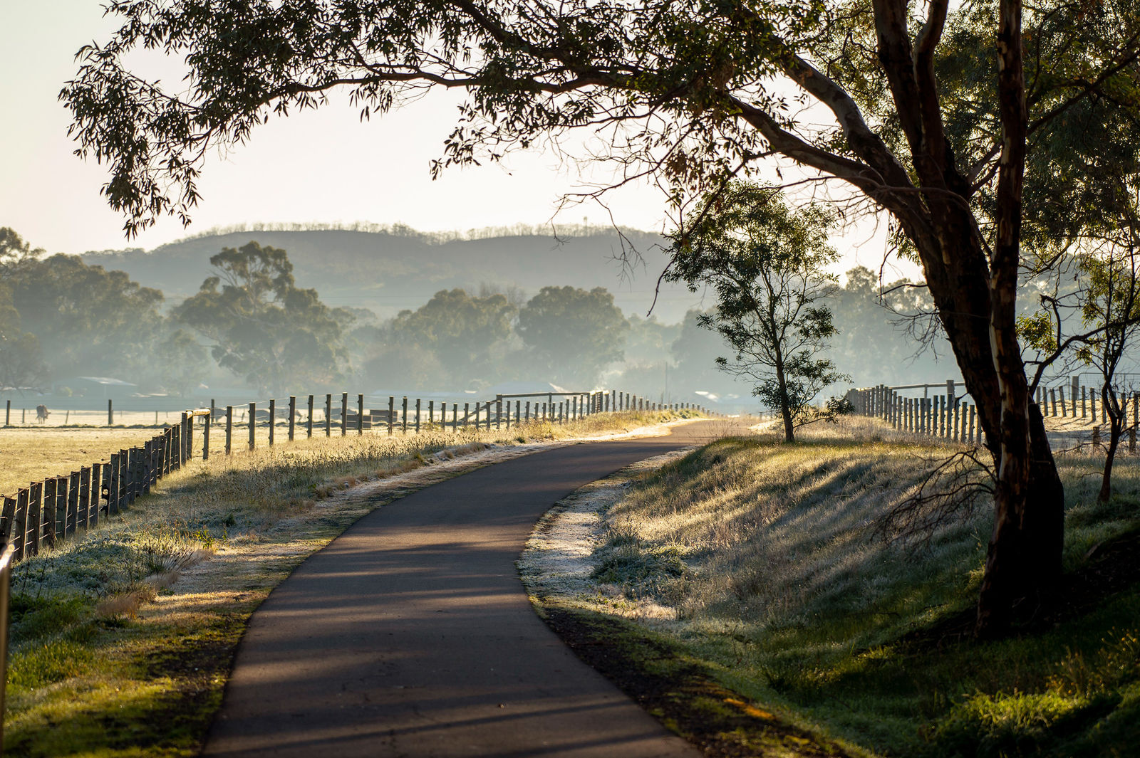
Stretching from Oakbank to Mount Torrens, this path meanders through lush valleys, charming small towns, and passes wineries, while offering beautiful country views along the way. The trail is both safe and accessible, as it's separated from the road and predominantly flat.
The pathway follows a paved bitumen track along an old railway line. Since trains struggle with inclines over 5%, the trail is mostly flat or features very gentle slopes over long distances.
Named in honor of Amy Gillett, a member of the Australian women’s cycling team who tragically died in 2005 while training in Germany, the pathway aims to promote the joy and safety of cycling.
Loved by locals as a peaceful, traffic-free route connecting townships, the Amy Gillett Pathway is also a hit with visitors. It's an ideal way to explore rural scenery, visit cool climate wineries, and experience the relaxed farming lifestyle of the Adelaide Hills.
Bikeway Map
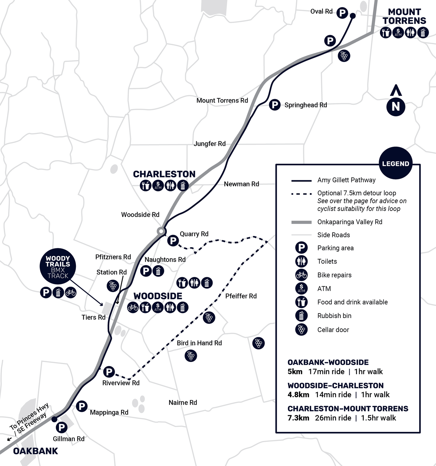
Bikeway Sections
- Section 1: Oakbank to Woodside (5km)
- Section 2: Woodside to Charleston (3.5km)
- Section 3: Charleston to Mount Torrens (8km)
- Section 4: Mt Torrens to Birdwood (under construction)
Amy Gillett Bikeway Extension (Section 4 - Mount Torrens to Birdwood)
Adelaide Hills Council is managing the delivery of the extension of the Amy Gillett Bikeway from Mount Torrens to Birdwood. The extension will provide an additional 5.2 km of shared pathway. There will be a trailhead at Oval Road, Mount Torrens, and at Birdwood, it will terminate near the junction of Bleeze Street and William Street, Birdwood.
The project is a $5.7M initiative jointly funded by the Federal Government ($2,600,000), State Government ($2,600,000) and Council ($500,000).
The Council has just received its final access and funding agreements, all signed by the State Government, allowing us to commence work on the old railway corridor.
Since the Council resolved to undertake the construction in February of this year, the project team has been working in the background, completing our design for the shared path and the bridges. We have also completed our application to the Native Vegetation Council and have received approval to remove the required vegetation to facilitate the construction of the path. These works commenced from the 15th of July and are expected to be completed by mid-August. There are contractors working from either end of the project site.
There will be two new bridges over Angas Creek and William Creek. These bridges will replace those removed when the railway line was decommissioned. The other bridge is the original one over the top of Burford’s Hill, just north of Mount Torrens. This bridge requires extensive repair and rehabilitation as part of the project.
Our Construction Manager and Arborist have been busy conducting initial investigation works and preparing contracts to commence work on the corridor. We have set up a site office and vegetation processing areas off Burford’s Hill Road. This Council-owned parcel of land is ideally located as a staging area for the works. The area was heavily impacted by the Cudlee Creek fires, and the early works have cleared a lot of dead and dying trees, making it suitable for use as a trailhead and natural open space for path users.
A contractor has been engaged and is ready to commence construction works at the southern end (Mount Torrens) of the project. This has been scheduled to start on-ground construction and build an initial 500m of the path to meet the milestone requirements of our federal funding partner.
We will be tendering for the bridge construction and the shared pathway soon, with major civil construction contract works scheduled to commence in September/October 2024. New bridges will be built at Angas Creek and William Creek. We will also be using the existing railway bridge that crosses Burfords Hill Road.
The target completion date for Stage 4 is June 2025.
Parking
You can find dedicated parking on Gillman Road at the Oakbank end, as well as near the oval in Mount Torrens. Additionally, there is parking available halfway along the trail, next to the Pony homeware shop in Charleston.
Image Gallery
Location
Nearby Locations

Johnston Memorial Park
- Type
- Park
- Address
- Onkaparinga Valley Road, Balhannah
- Features
- Bike track, Picnic area, BBQ, Netball court, Tennis court, Toilets, Off-street car park, Sporting oval, Cricket nets, Dog park, Playground, Exercise Equipment
Johnston Memorial Park, also known as Balhannah Oval, is home of the Onkaparinga Valley Football Club and an ideal location for BBQs and sporting activities.
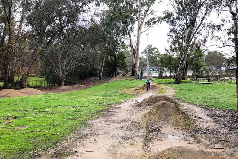
Balhannah Bike Track
- Type
- Park
- Address
- Onkaparinga Valley Road, Balhannah
- Features
- Bike track
The Balhannah Bike track is located near the junction of Bridge and Onkaparinga Valley Road, Balhannah. This small community run facility is perfect for young riders learning about bike handling skills on undulating natural surfaces.