

Heysen Trail (Northern End)
- Address
- Heysen Trail, Mount Crawford SA 5351, Australia (view map)
- Type
- Trail, Trail
- Features
- Trail
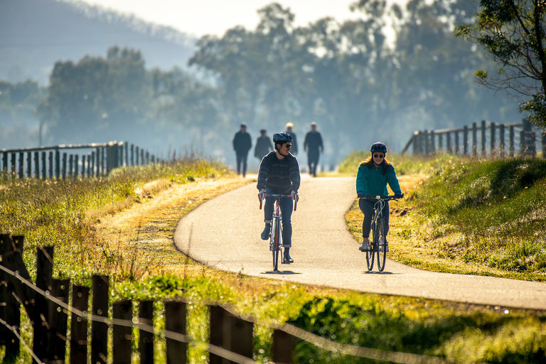
The Heysen Trail travels from Cape Jervis on the Fleurieu Peninsular all the way to the Flinders Ranges at Parachilna. The total trail is 1200km long and can take between 50 to 60 days to complete. However, many people choose to do smaller sections and even enjoy lovely day walks on certain parts.
The Heysen Trail welcomes tens of thousands of visitors annually and contributes considerably to the interstate and international trail tourism figures within South Australia.
The Trail travels through the Adelaide Hills Council area for over 80 kilometres. This trail is not for the faint hearted, however sections can be done as day walks with special mentions given to the views through the Piccadilly Valley, the bushland in and around Mylor and Bridgewater, and the challenging hilly areas of Greenhill and Norton Summit.
The trail visits the following areas - Mylor, Bridgewater, Mount George, Piccadilly, Mount Lofty, Greenhill, Norton Summit, Montacute, Cherryville, Kersbrook, Forreston and Mount Crawford. There is also a 'spur' section that links the trail into the popular tourist town of Hahndorf.
Location
Nearby Locations
Kersbrook Soldiers Memorial Park
- Type
- Park
- Address
- Glover Street, Kersbrook
- Features
- Netball court, Venue for hire, Tennis court, Off-street car park, Sporting oval, Cricket nets, Playground
Kersbrook Soldiers Memorial Park is a community run sporting ground that offers tennis courts, clubrooms and oval for hire. The site also features cricket nets, picnic grounds and a modern playground.
Gumeracha Cemetery
- Type
- Cemeteries
- Address
- Forreston Road, Gumeracha
The Gumeracha Cemetery spans 0.81 hectares and is landscaped with silver birch, polar, gum and pine trees, and was established 1870.
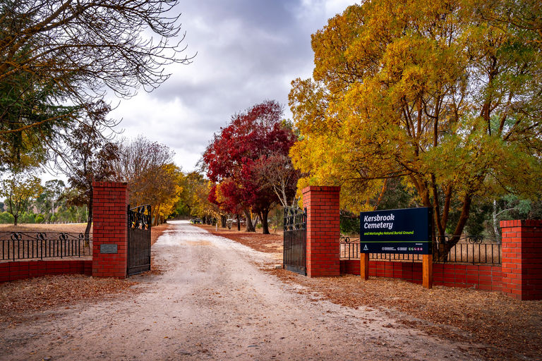
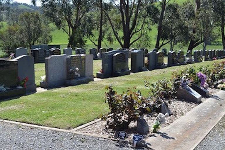
Kersbrook Cemetery
- Type
- Cemeteries
- Address
- Calm Ln, Kersbrook
This cemetery has a large traditional burial area, lawned burial area and 'Martungka', a dedicated natural burial ground. Cremated remains can be interred into a columbarium wall or in the gardens.
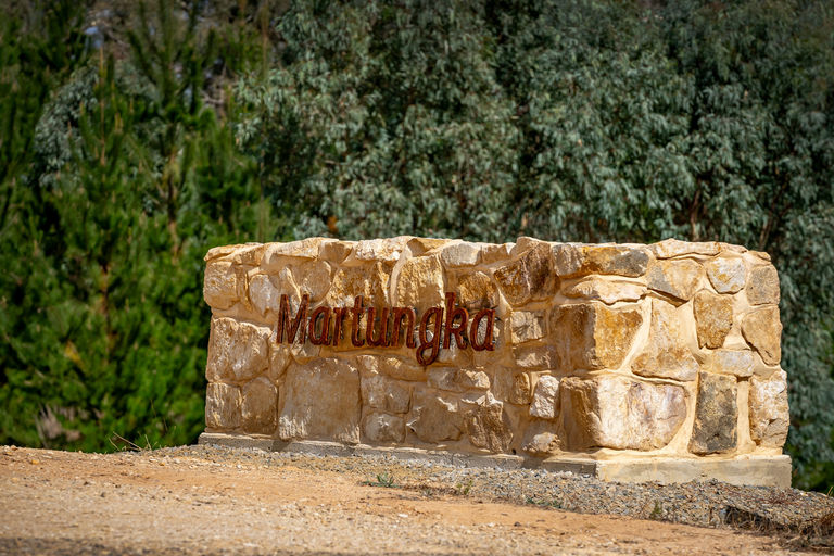
Martungka Natural Burial Ground
- Type
- Cemeteries
- Address
- Calm Ln, Kersbrook
Martungka Natural Burial Ground is located within the Kersbrook Cemetery.